The Rumps
Penrose, down near Helston, was meant to be my entry this week. It was my pre-planned Sunday adventure and we did go. However, I feel like we barely scraped the surface of the place and I will 100% be going back in Spring when there is less mud and more wildflowers. I think I will do it more justice then.
Not to worry though, because last weekend’s weather was magnificent and we were able to explore 3 new places. On Friday we went to a new woodlands (which I will summarise in a second woodlands post like this one here) and Saturday we went to The Rumps.
I’d never even heard of The Rumps until a local lady said it was her favourite place in Cornwall. It is only about a half hour north of Newquay (just north of Polzeath), so we thought we should check it out.
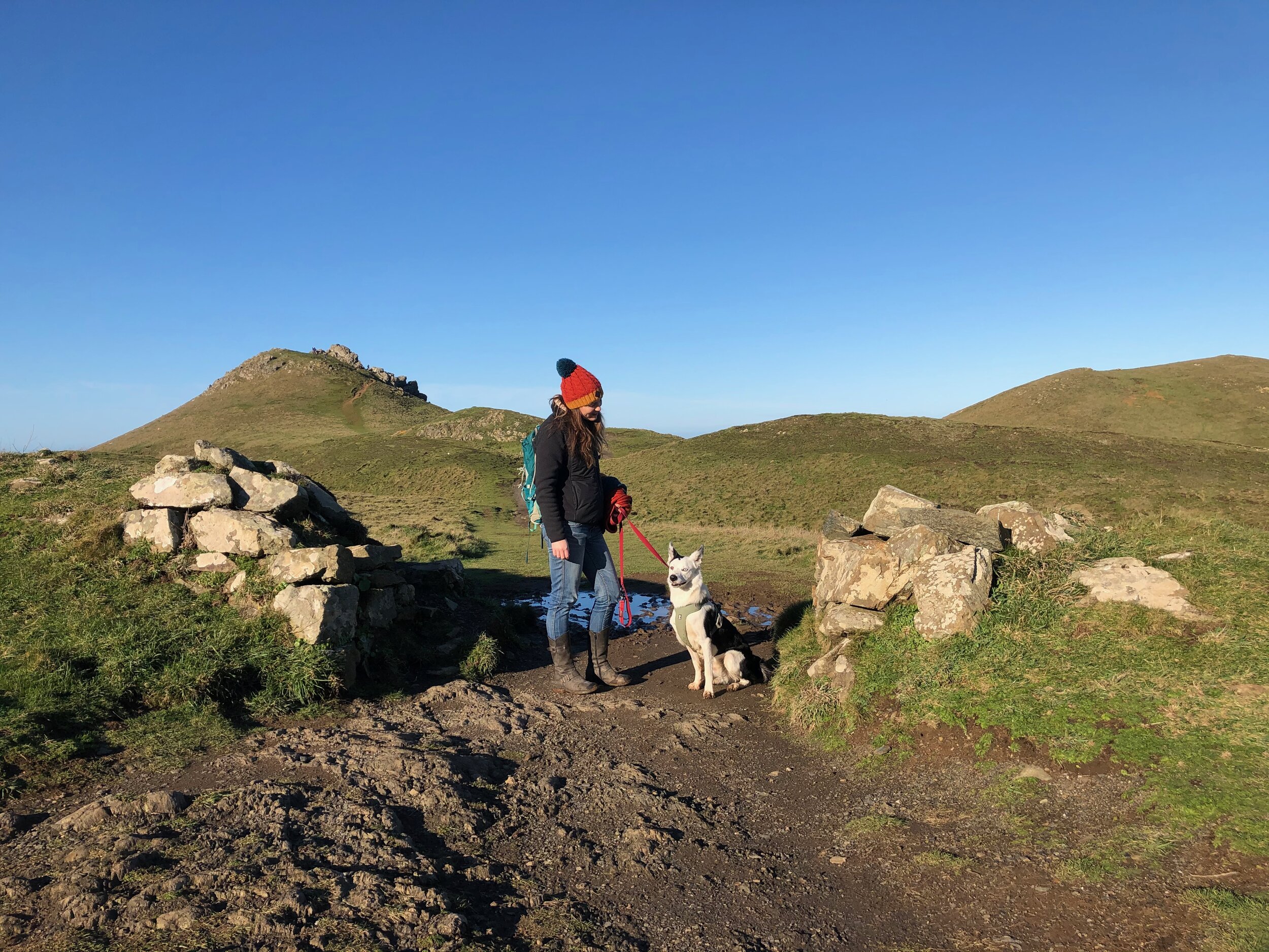
Pentireglaze is again, a National Trust area (although strangely not on their website) and you can park there with your NT membership or pay. From there, it is not difficult to navigate your way through the fields to the coastal path and then along the cliff tops. Cows are in some paddocks and drop offs are pretty significant in a few patchy places along the path! It will be muddy in winter.
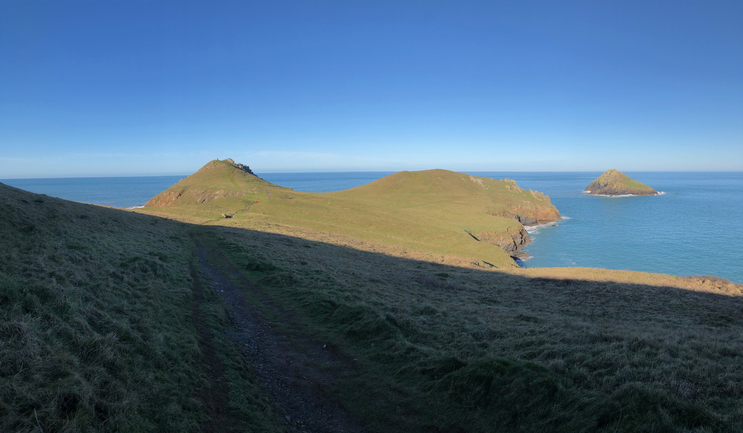
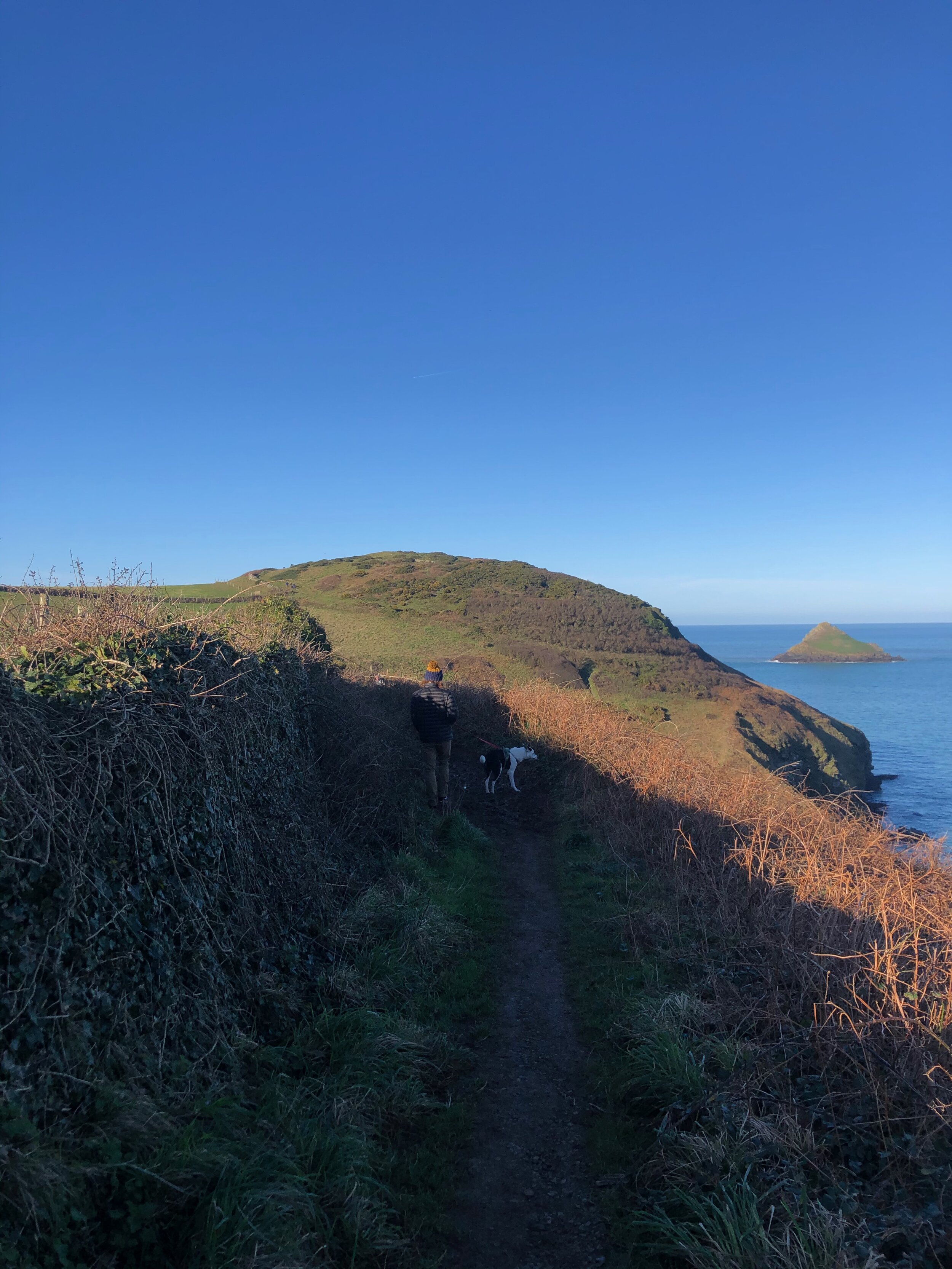
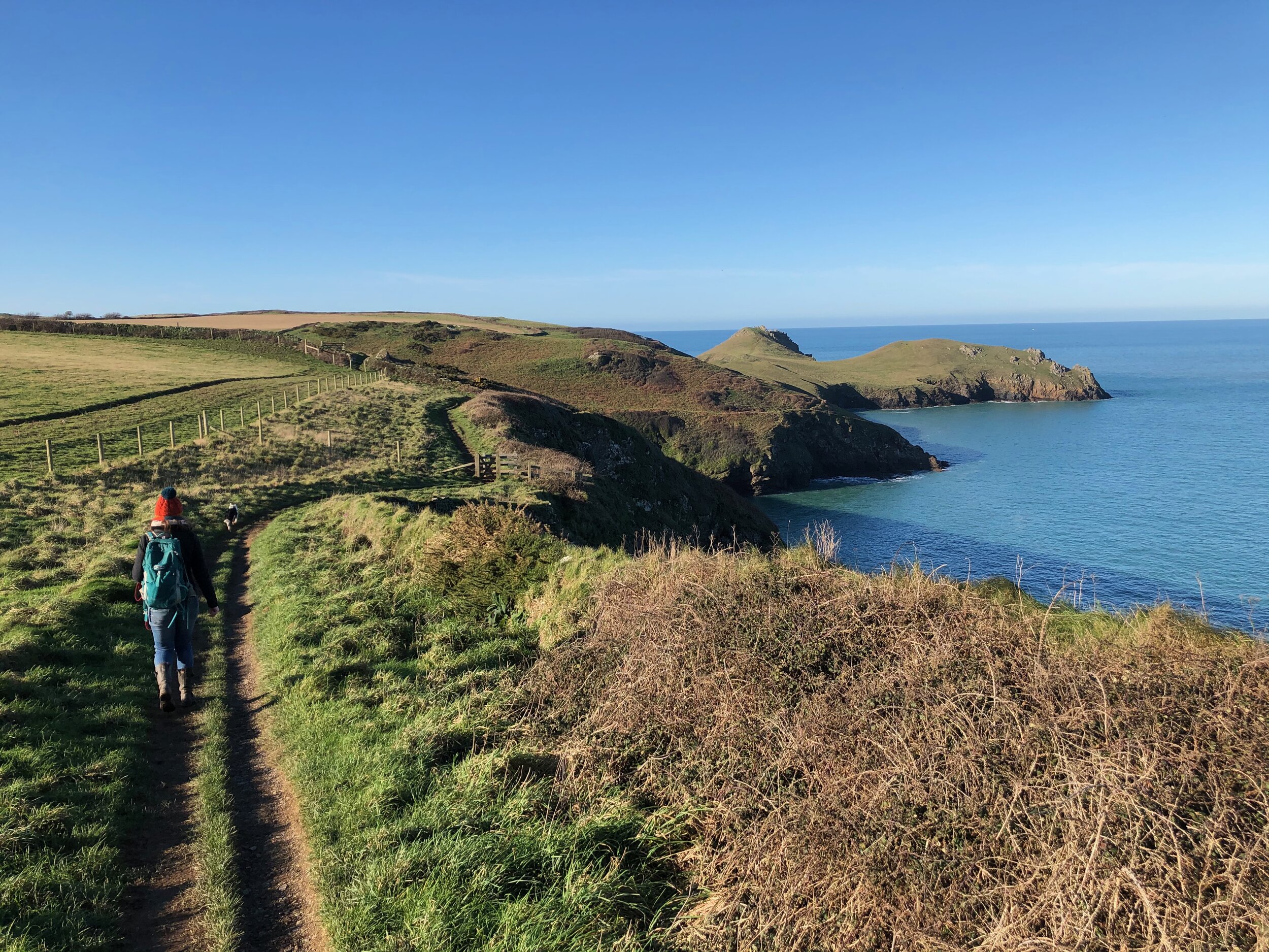
You will find The Rumps sticking out directly north- almost a little attachment to the headland. (Conveniently called Pentire. Newquay also has a Pentire Headland. Everywhere here is either named extremely similarly to another place, or has the EXACT SAME NAME as another place IN CORNWALL. And if you’re visiting a coastal town that doesn’t have Porth as part of the name, you’re probably in the wrong county.)
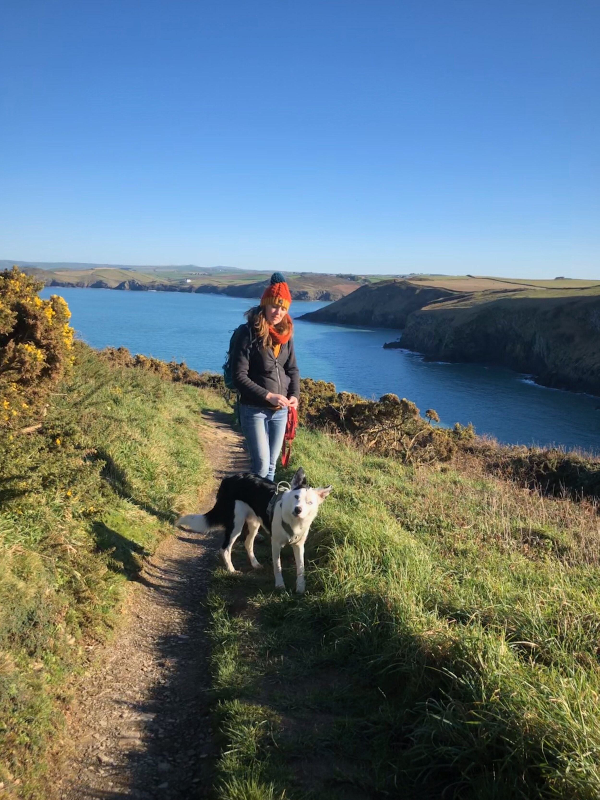
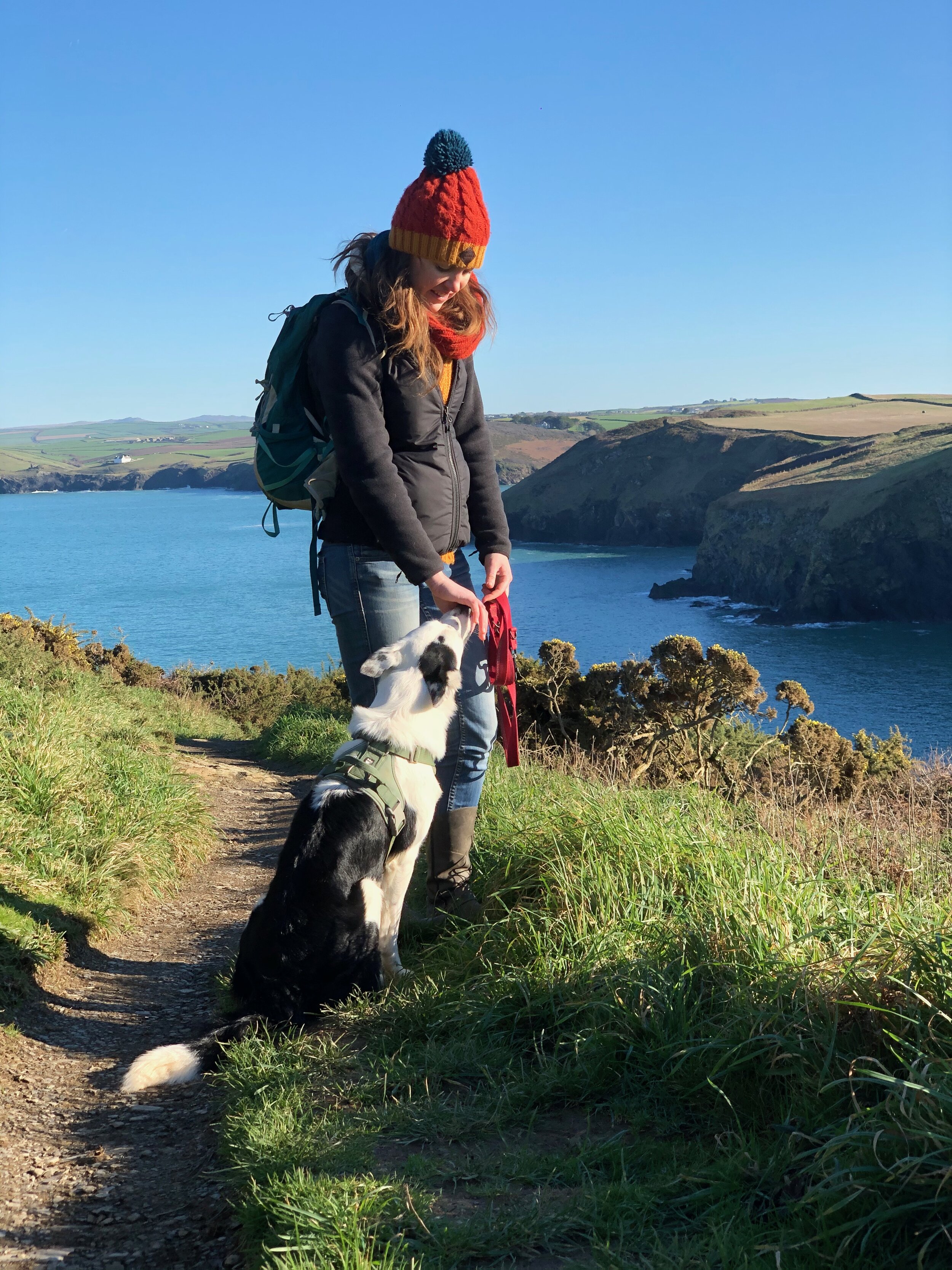
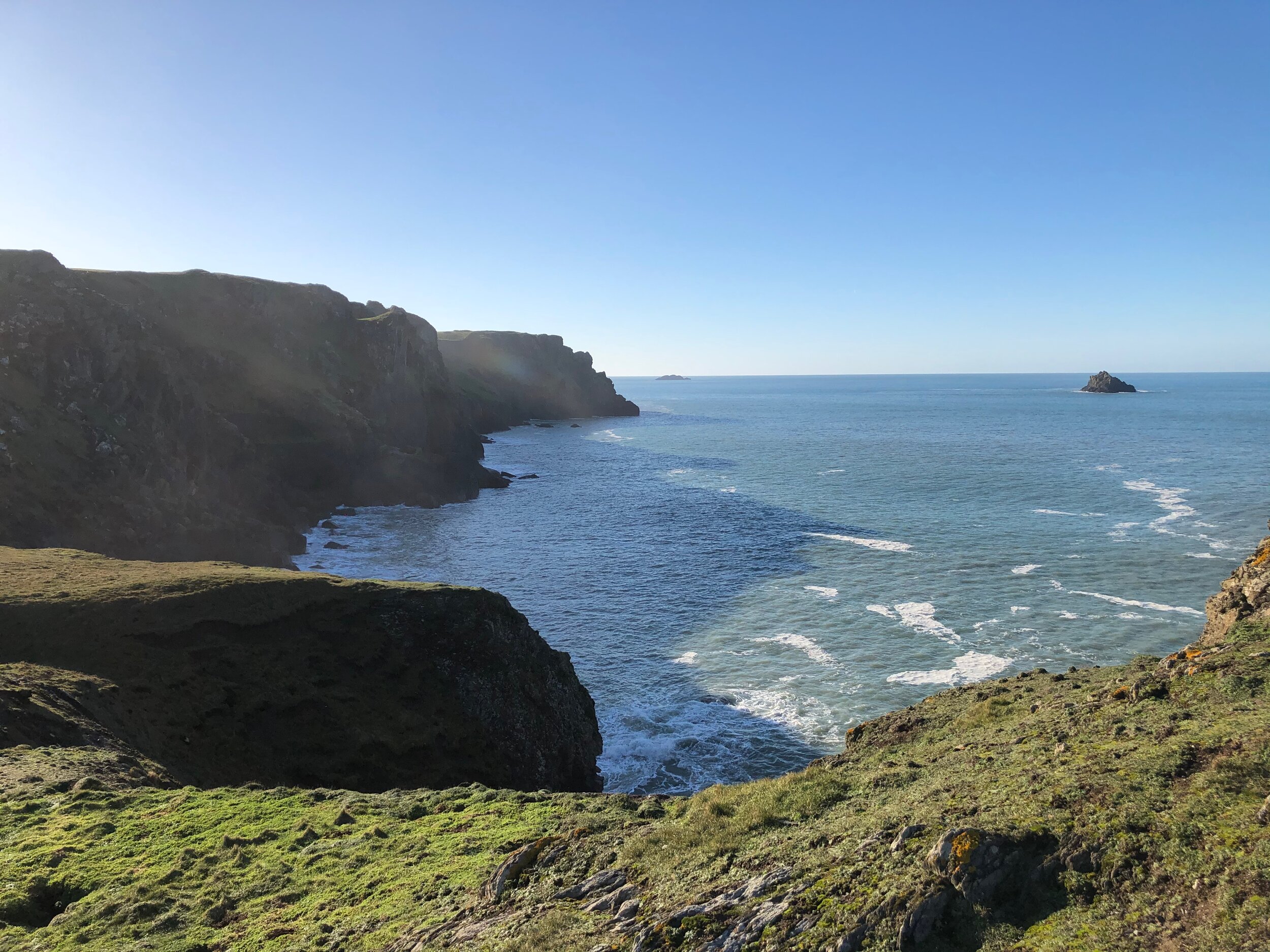
The view you get from there is possibly in my top two for Cornwall so far! It creeps in ahead of the view from Bedruthan Steps for number one on the North Coast. (Don’t even get me started on what is deemed north and south coasts in Cornwall or where the hell ‘West Cornwall’ starts?!?!?! Apparently compass points aren’t a thing here).
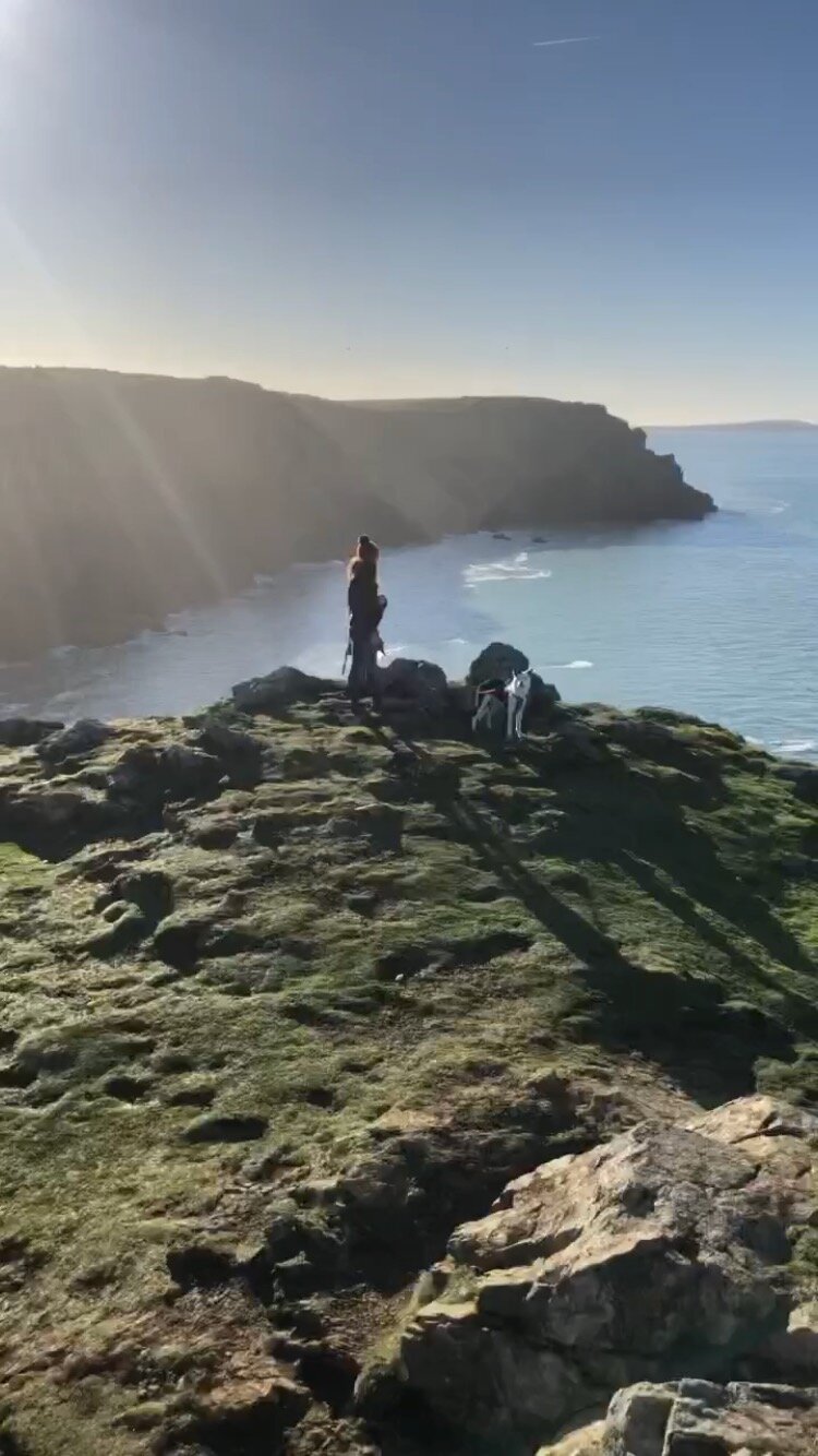
I liked it so much, mainly because you can see a whole lot really. And looking towards Polzeath (south westerly?!), there are some dramatic, sheer cliffs which add spectacle to the panorama.
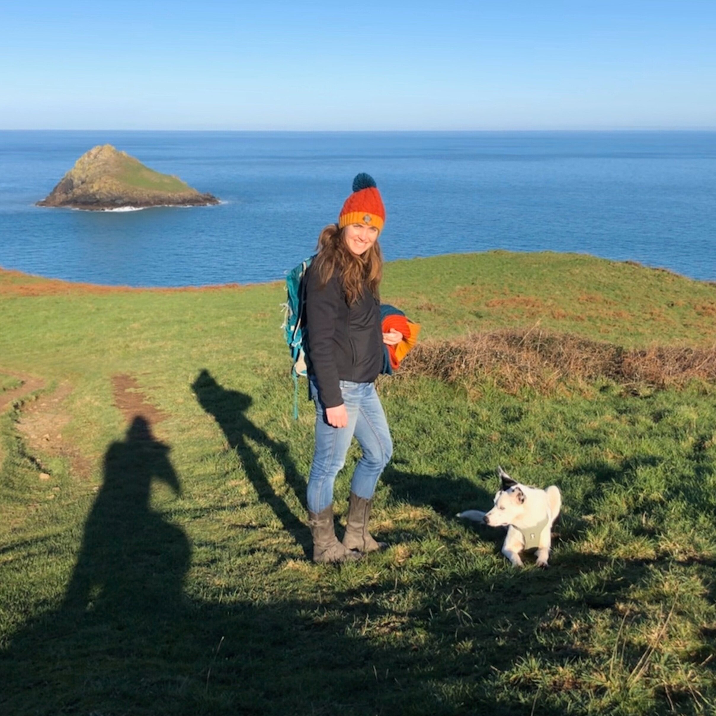
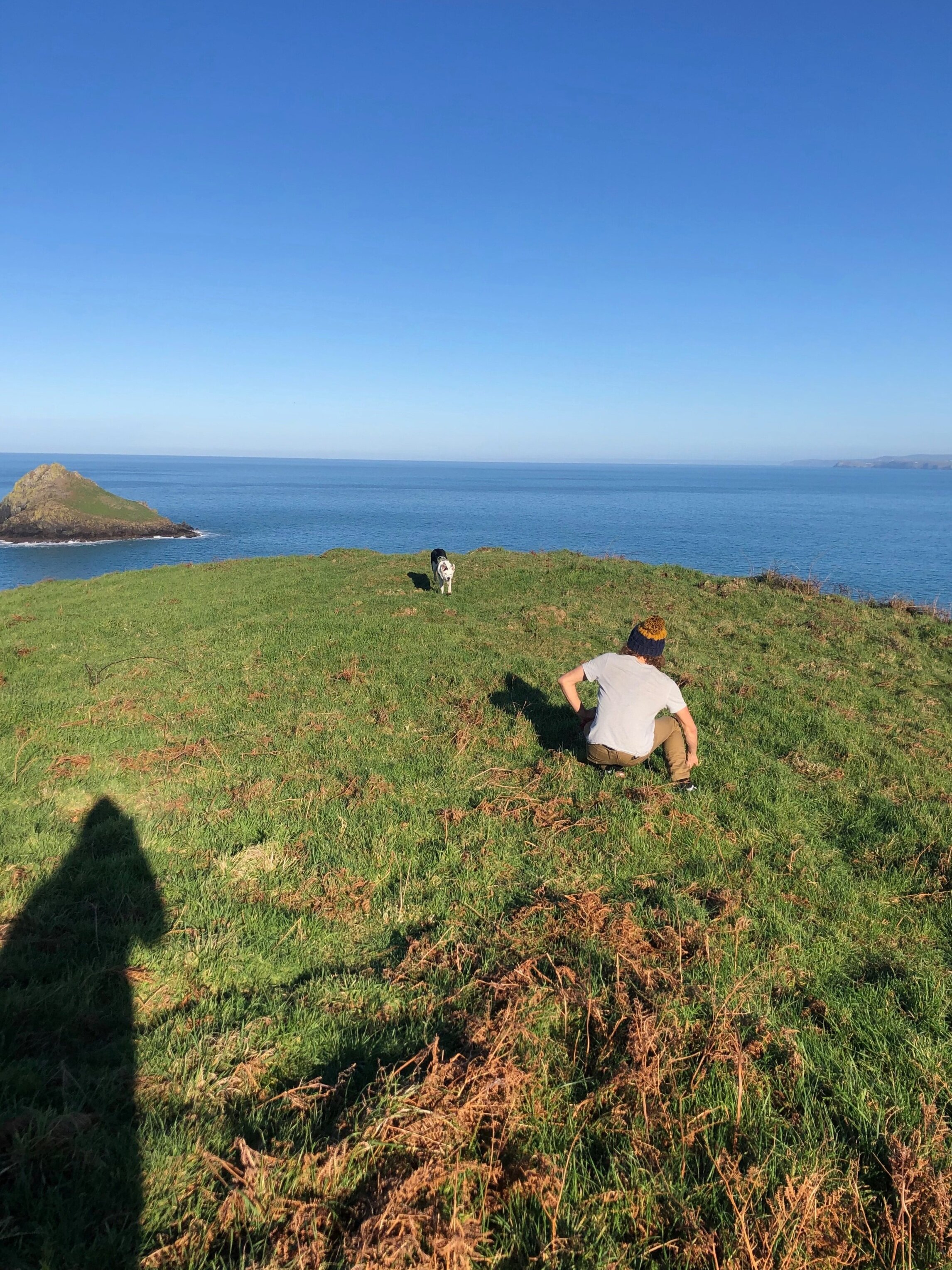
It is clear why this little section is called The Rumps- it is like a big area of rolly polly hills. Kind of Teletubby-esque. Just with a touch of danger added in- I wouldn’t recommend rolly pollying here- you’ll roll right off the cliff.
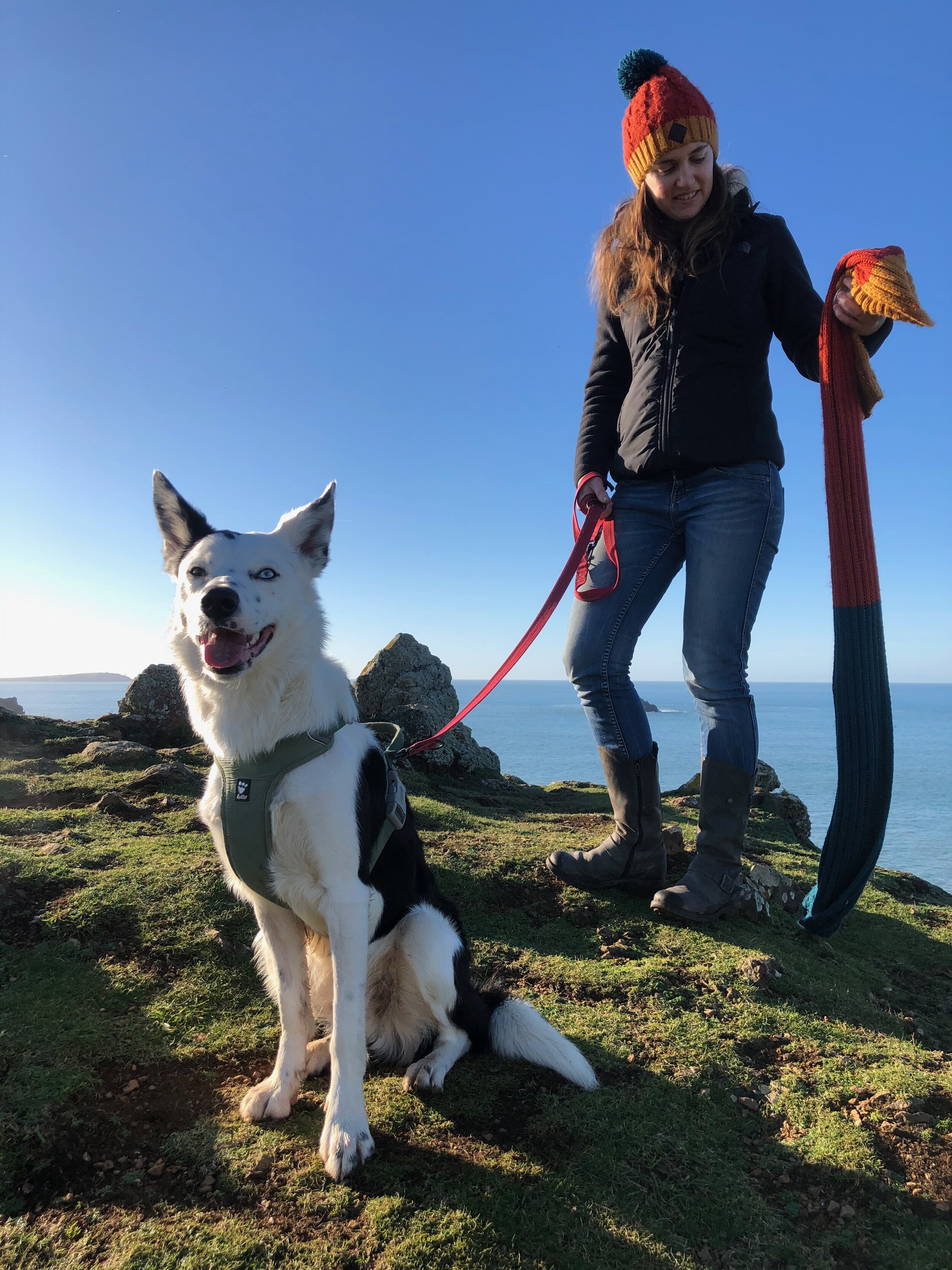
We would have continued on all the way around to Polzeath to loop back to the car, but poochie really limits us at the moment. So we returned in the same direction we came and cut through a couple of fields to mix it up a bit. One other walker said Pentire Point was equally as visually impactful as you can see around to the estuary of the River Camel. Next time!
It’s a fairly easy walk. Just muddy at this time of year. Cliffs and cows are the biggest issues, but neither are unavoidable. For a quick 45 minutes on a sunny day, go and stand on a Rump!
(Apologies for not getting a decent panorama from The Rumps! I handed photo taking over to Jim, but he only got a sketchy video… His privileges have been stripped.)

